Insider’s Tips for Exploring the Dalton Highway in Alaska’s Arctic
For the vast majority of the globe, the sun is a consistent companion — reliable, life-giving, and predictable. But imagine if the sun never rose above the horizon, or, if it stayed above the horizon for weeks at a time. Such extremes are a reality for life above Alaska’s Arctic Circle — and a visit to this region will inspire newfound appreciation for that big star in the sky. Read on to discover how you can experience this phenomenon for yourself above the Arctic Circle with a trip along the famous Dalton Highway.
Where is the Arctic Circle in Alaska?
The Arctic Circle is an imaginary line around the Earth drawn parallel to the equator. Anything located above that line is what is referred to as “the Arctic.” In Alaska, a sign denoting the location of the Arctic Circle is located about a 5 hour drive north of Fairbanks along the Elliot and Dalton Highways. The further you travel above the Arctic Circle, the more extreme your experience with sunlight becomes. On the winter solstice, the Arctic Circle marks the spot where the sun doesn’t rise above the horizon. The further north you travel from there, the longer amount of time the sun stays consistently below the horizon. This winter phenomenon is called polar night. Conversely, around the summer solstice — the longest day of the year in June — the Arctic experiences polar day, or the midnight sun, where the sun doesn’t set.
If you’re looking to experience either extreme with your own eyes in the United States, there’s only one place to go: Alaska! The first step is getting to Fairbanks, where the journey begins — approximately few hundred miles south of the Arctic Circle.

How Can I Cross the Arctic Circle Quickly?
There are many ways to access Alaska’s Arctic Region — but the fastest? Flying in. Before your flight north from Fairbanks, carve out time for lunch at East Ramp Pizza, located on the opposite side of the runway from the International Airport in Fairbanks. Get a table by a window to secure views of local air traffic coming in and out. Small aircraft serve as taxi to some of the most remote places in Alaska — including those communities above the Arctic Circle.
Visitors can hop a “bush flight” to communities and villages within the Arctic through companies like Wright Air, Brooks Range Aviation, or Coyote Air. However, don’t expect online flight booking — reservations are typically done the over the phone. If you’re looking for a guided tour from Fairbanks that includes a flight above the Arctic Circle, Northern Alaska Tour Company provides a wide variety of year-round options.

How Can I Drive Across the Arctic Circle?
Although not for the faint of heart, driving the rugged Dalton Highway across the Arctic Circle is an absolute must-do for anyone looking for an extraordinary experience in northern Alaska. If you’re looking for a ride up without the stress of a rental car and managing the logistics for self-driving, the Dalton Highway Express offers multi-stop routes running up and down every week for affordable prices from about May to September. This is as close to a taxi as you can get, for a fraction of the price of a private charter.
If you do have a larger group headed north, you may want to invest in a private charter van so you can go at your own pace with an experienced driver. The aforementioned Northern Alaska Tour Company also offers private charters up and down the road. Finally, if you’re a seasoned backcountry traveler, and have some experience driving (and surviving!) in rough, mountainous country, self-driving may be the option for you.

Can I Self-Drive the Dalton Highway?
Yes! Originally built in the 70s, the Dalton Highway is a 414-mile rugged road from Livengood to Deadhorse that provides infrastructure to support the Trans-Alaska Pipeline. During that time, the road was only open to truckers hauling supplies to the oil fields at Prudhoe Bay. Thus, the road is still dubbed “The Haul Road” by locals and truckers alike.
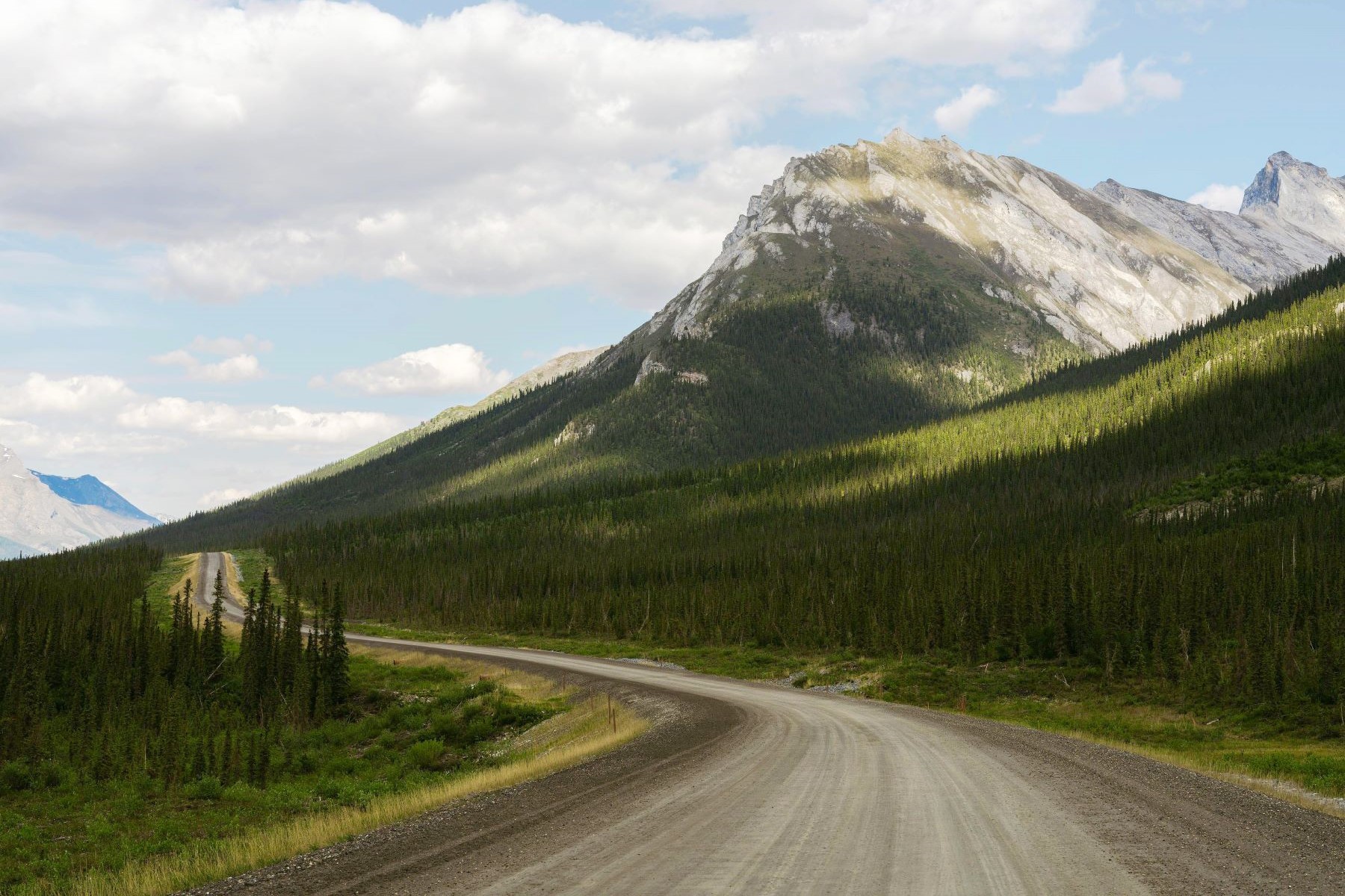
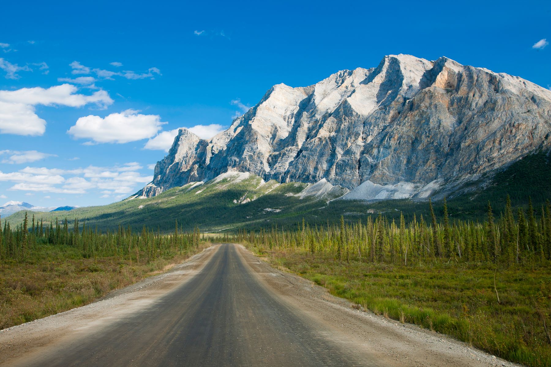
The Haul Road was opened to visitor traffic in the 1990s — but drivers beware! The infrastructure of the road is still set up as a utility corridor above all else. Drivers should never expect “normal” conditions on this span of road. It’s notorious for copious amounts of gravel in the summertime, low speeds to avoid dust (summer) or ice (winter), inevitable rock chips churned up by traffic, plentiful potholes large enough to blow tires, and no cell service after you leave Fairbanks for upwards of 6 hours until you arrive in Coldfoot Camp. The nearest medical care is Fairbanks or at the end of the road in Deadhorse. For the entire 414 miles, there are only three places to stop and fuel up, and four places to stop for lodging.

To get to this part of Alaska, you first drive 83 miles north of Fairbanks (which takes about 2 hours at moderate speeds) on the Elliot Highway. There, you’ll find a big sign to marking Dalton Highway Mile #1, along with another sign that gives some historical context to the road.
Most rental car companies don’t allow guests to drive the Dalton Highway — and you definitely don’t want to roll the dice! Due to the area’s remote nature, AAA and other towing services don’t service this region, so a tow to Fairbanks from the Dalton is rumored to cost $1,500 to $3,000 or more. Stranded drivers could be waiting for the arrival of a tow truck for 24 hours (or longer). In other words: Self-sufficiency is crucial. There are only a few companies that allow their vehicles to be drive north, including GoNorth, Alaska 4x4 Rentals, Arctic Outfitters, and Alaska Auto Rental.

What Do I Need to Drive the Dalton Highway?
- Prior experience driving in mountainous and hazardous conditions.
- Some form of satellite communication device. There’s no cell service for most of the trip.
- A spare full size tire, emergency kit, and spare supplies including food and water, should you break down.
- If you drive your own vehicle, a spare tank of gas.
- A CB Radio: The truckers rule the road, and this is how you communicate with them. Expect to see many semi-trucks and oversize loads. With a radio, professional drivers can notify you when to pull over, about potential obstacles ahead, and — in extreme weather — when to turn around.

Where Can I Stop or Stay Along the Dalton Highway?
Although there appear to be many side roads veering off from the Dalton, the vast majority of those are gated roads for pipeline access. There are only four places with services and/or accommodations to stop along the road, and a handful of other unique stops for visitors.
A few notable stops along the Dalton Highway include:
- Mile 56: Yukon River Camp (YRC) is a truckstop just past the Yukon River Bridge that offers fuel, snacks, and a sporadic cafe menu. They also have an inn where you can book lodging for overnight stays in basic accommodations with running water and generator-powered electricity. There is no cell service or WiFi at YRC.
- Mile 98: Finger Mountain can be a great spot to stretch your legs in the summertime. There are a few outhouses. You’ll find a short summertime walking trail to this area’s namesake: a finger-shaped rock formation.
- Mile 115.2: This pull-off has outhouses and a Bureau of Land Management-managed campground for summertime bookings, along with the “official” sign denoting the Arctic Circle for a great photo-op.
If you have the time, don’t just turn around at the Arctic Circle! There is so much more north of mile 115, including the majestic Brooks Range.
- Mile 175: Coldfoot Camp is about 6-7 hours from Fairbanks and offers a more extensive fuel station, a cafe with a full menu, and an inn for overnight stays in rustic accommodations with running water and generator-powered electricity. There is an airstrip for bush flights, as the community of Coldfoot serves as a hub for many visitors to this region looking to access Gates of the Arctic National Park, northern lights tours in the winter, and other Arctic activities. There is decent cell service in Coldfoot, especially for those with AT&T. The WiFi is unreliable at best — don’t expect a good connection. There is no grocery store, but there is a small Post Office open a few hours, three days a week. Also, bear in mind Gates of the Arctic National Park is a roadless national park, so although the Arctic Interagency Visitor Center is open in the summer (with park information, exhibits, presentations, and a bookstore) Coldfoot is not located in Gates of the Arctic National Park.

- Mile 188.5: For a truly local experience, consider visiting and/or staying in the charming village of Wiseman, which boasts a year-round population of about 11 intrepid Alaskans. The community experienced its peak population of just over 120 people in the 1920s during the Gold Rush. Those who live there today maintain subsistence lifestyles, many have dog teams for dogsledding in the wintertime, and they all choose to live in the area because of a deep love for the Brooks Range and all it offers. Wiseman has three accommodation options to choose from, each offering unique, cozy and hand-built off-grid accommodations — Arctic Getaway, Arctic Hive, and Boreal Lodge.

- Mile 235 - 250: After following the pipeline through the Brooks Range, here you start climbing up and over Atigun Pass. Be extremely mindful of oncoming truck traffic with heavy loads, icy or muddy conditions over the pass, and don’t be shy about using your CB radio to let nearby trucks know you’re ascending first to Chandalar Shelf, and then over Atigun Pass. Both climbs offer expansive vistas looking into Arctic National Wildlife Refuge to the east and Gates of the Arctic National Park to the west. Drive through this area with extreme caution.

- Mile 275: Once you take the sharp descent from the pass, the landscape begins to open up as it leaves the Brooks Range. Galbraith Lake, on the west side of the road, has a Bureau of Land Management campground for overnight stays, outhouses, and a cell tower with decent service. After you pass Toolik Field Station (mile 284.5), you make one more small climb. At the pullout, be sure to take one last look behind you at the expansive view of the Brooks Range.

- The area after the Brooks Range is called the North Slope, which features miles and miles of Arctic tundra, all the way to the coast.
- Mile 417: Deadhorse Camp is about 14 hours from Fairbanks. Although self-drivers cannot see or access Prudhoe Bay on the Arctic Ocean on their own, Northern Alaska Tour Company offers tours. There is a cafe and rustic accommodations with running water.

The varied adventurous experiences to be had in the Arctic are as vast as its wilderness landscapes. Whether you take advantage of the unlimited daylight during summertime’s midnight sun, or the cotton-candy colored twilight of polar night (or anytime in between!) Alaska’s Arctic is sure to make an impression that will last a lifetime.
Alaska: AKA Your Next Adventure
Where will your Alaska adventure take you? Order our Official State of Alaska Vacation Planner and plot your course.

