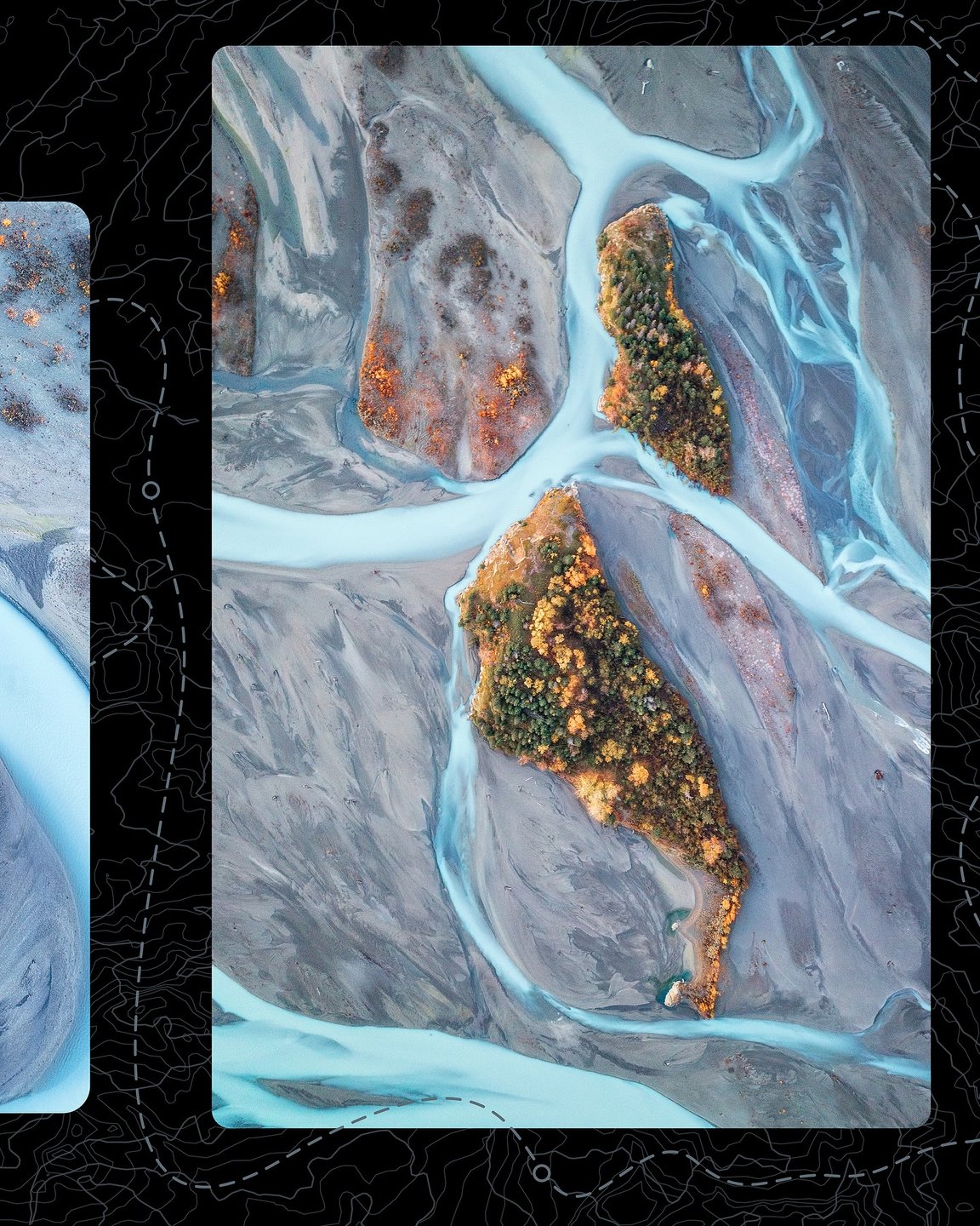
Admiralty Island National Monument
Home to the highest density of brown bears in North America, wildlife activity abounds on this rugged island in the Inside Passage.
Embracing nearly a million acres of old growth rainforest, alpine tundra, and rugged coastline, Admiralty Island National Monument located within the Tongass National Forest has been home to the Tlingít people for centuries, and to brown bears even longer. The Tlingít call this island "Kootznoowoo," meaning "Fortress of the Bear."
Things to Do
Admiralty Island is best known for bear viewing at the Pack Creek Bear Viewing Area. Most visitors to Pack Creek arrive on float planes from Juneau just for the day. Upon arrival, they are met by a ranger and then hike a mile-long trail to an observation tower from which they can watch brown bears feed on spawning salmon.
Kayaking in Seymour Canal is also popular. With an expansive 32-mile trail system that links eight major lakes and seven portages, paddlers can travel from the east end of Mitchell Bay to Mole Harbor in Seymour Canal. Other popular activities include hunting, fishing, bird watching, and photography.
Wildlife
The 956,155-acre monument is home to an estimated 1,600 brown bears, the highest concentration anywhere in the world, and more than the rest of the states combined. The island also has the world's greatest concentration of nesting bald eagles. More than 5,000 eagles live on Admiralty Island and average a nest every mile along the coastline of Seymour Canal.
Admiralty Island has a variety of other wildlife, as well. Bays such as Mitchell, Hood, Whitewater, and Chaik contain harbor seals, porpoises, and sea lions. Humpback whales can often be spotted feeding in Seymour Canal. Sitka black-tailed deer are plentiful, and the streams are filled with all five species of Pacific salmon that spawn in July and August.
Landscape
Located 15 miles southwest of Juneau, Admiralty Island is bounded on the east and north by Stephens Passage, on the west by Chatham Strait, and on the south by Frederick Sound. Admiralty is a rugged island, with mountains that rise to 4,650 feet, covered by tundra and icefields. Numerous lakes, rivers, and open areas of muskeg break up the coastal rainforest of Sitka spruce and western hemlock. More than 90 percent of the monument is designated as the Kootznoowoo Wilderness, while the lone community is Angoon, a predominantly Tlingit village at the mouth of Mitchell Bay on the west side of the island.
Facilities, Camping, & Lodging
Scattered across Admiralty Island are 13 Forest Service cabins that can be rented in advance. Many of the cabins are located on inland lakes and can be reached from the Cross-Admiralty Canoe Route. The 32-mile trail system links eight major lakes and seven portages and allows paddlers to travel from the east end of Mitchell Bay to Mole Harbor in Seymour Canal.
No camping is allowed at Pack Creek but a camping area is maintained on nearby Windfall Island for kayakers visiting Pack Creek. There are overnight accommodations and limited visitor services, including canoe rental, in Angoon.
Getting to Admiralty Island National Monument
Primary access to the monument is by boat from Juneau or Angoon or by floatplane from Juneau. Both southbound and northbound Alaska Marine Highway ferries stop at Angoon on the run from Sitka to Juneau and the village is also serviced with scheduled seaplane air service from Juneau.
For more information, visit the Admiralty Island National Monument website.
Learn more about bear viewing in Alaska.
Plan Your Trip
Above & Beyond Alaska (ABAK) has been organizing small group adventures in the Juneau area for over 21 years. Our commitment is unwavering — we...
Experience Southeast Alaska's Premier Bear Viewing Adventures! Immerse yourself in the awe-inspiring world of wild brown bears as they fish for...
Above & Beyond Alaska (ABAK) has been organizing small group adventures in the Juneau area for over 21 years. Our commitment is unwavering — we...
Experience Southeast Alaska's Premier Bear Viewing Adventures! Immerse yourself in the awe-inspiring world of wild brown bears as they fish for...
If you're looking for a convenient, hassle-free way to see and explore Alaska, Viking Travel Inc is the answer! Founded in 1981, we have been...

Local Climate & Weather
For Alaska's day-to-day weather, it’s best to plan for a bit of everything. Learn more about weather in this area.
Travel Inspiration
#TravelAlaska
#TravelAlaska
 @john.haymore
 @sallisonspurlock
 @orcaislandcabins
 @sallisonspurlock
 @sallisonspurlock


