Chatanika State Recreation Areas
Only an hour’s drive north of Fairbanks, rafting and fishing adventures abound in the Chatanika State Recreation Areas.
Winding through the historic mining country of the Fairbanks gold strikes and then crossing over Cleary Summit, the Steese Highway drops down to the Chatanika River valley. Lower Chatanika State Recreation Area consists of 570 acres along the Elliott Highway, and farther north on the Steese Highway is the 73-acre Upper Chatanika State Recreation Site.
THINGS TO DO
Visitors to this area enjoy boating, camping, hiking, and picnicking. Fishing is also excellent in the summer. The grayling population is optimal all summer, and the river has a modest run of king, silver, and chum salmon in late July through October. For overnight stays, visitors can camp at campgrounds in both the Upper and Lower Recreation Areas.
The Chatanika River is best suited to small vessels, such as canoes, kayaks, or rafts, and encompasses the Chatanika River Canoe Trail (28 miles long), a BLM registered trail. For an all-day float, canoeists and rafters can launch their boats from a gravel bar reached from a road in Upper Chatanika State Recreation Site and end at Lower Chatanika State Recreational Area. The longest section of river suitable for rafting is approximately 45 miles and takes 3 to 4 days to float.
WILDLIFE
The clearwater stream is rich with fish, such as grayling, lamprey, burbot, humpback whitefish, northern pike, and sheefish. The river also has a modest run of king, silver, and chum salmon in late July through October. Land animals in the area include black and brown bears, moose, wolves, river otters, and beavers.
LANDSCAPE
With headwaters flowing from the rolling hills north of Fairbanks, the Chatanika River weaves through 128 miles of spruce and birch forest to its convergence with the Tolovana River.
The lower river traverses Minto Flats, an area of mostly open wetlands renowned for its waterfowl nesting and staging habitats, drawing in protected species of ducks, geese, and swans.
HISTORY
During the Fairbanks gold rush in the early 20th century, the Chatanika River was used to support the area’s booming gold mining industry, where its flow was used to operate gold dredges. In an effort to divert water to mining operations, dams were also built on the river to support the nearby mining operations. In 2002, the Alaska Department of Fish and Game removed several of these structures, which restored the original flow of the river.
FACILITIES AND CAMPING
Lower Chatanika State Recreation Area features two campgrounds. Whitefish Campground, on the north side of the Chatanika River Bridge, has 25 campsites, a picnic shelter, outhouses, drinking water, and fishing access. There is also a boat ramp for people floating the Chatanika River. The Olnes Pond Campground has 15 campsites, a picnic area, drinking water, outhouses, and a public use cabin that is reservable in advance. Upper Chatanika State Recreation Site has 24 campsites, four picnic sites, drinking water, and outhouses.
GETTING HERE
Lower Chatanika State Recreation Area is reached at Mile 11 of the Elliott Highway, 20 miles north of Fairbanks. Upper Chatanika State Recreation Site is located at Mile 39 of the Steese Highway.
For more information, visit the Lower Chanatika State Recreation Area website and the Upper Chanatika State Recreation Area website.

Local Climate & Weather
For Alaska's day-to-day weather, it’s best to plan for a bit of everything. Learn more about weather in this area.
Travel Inspiration
#TravelAlaska
#TravelAlaska
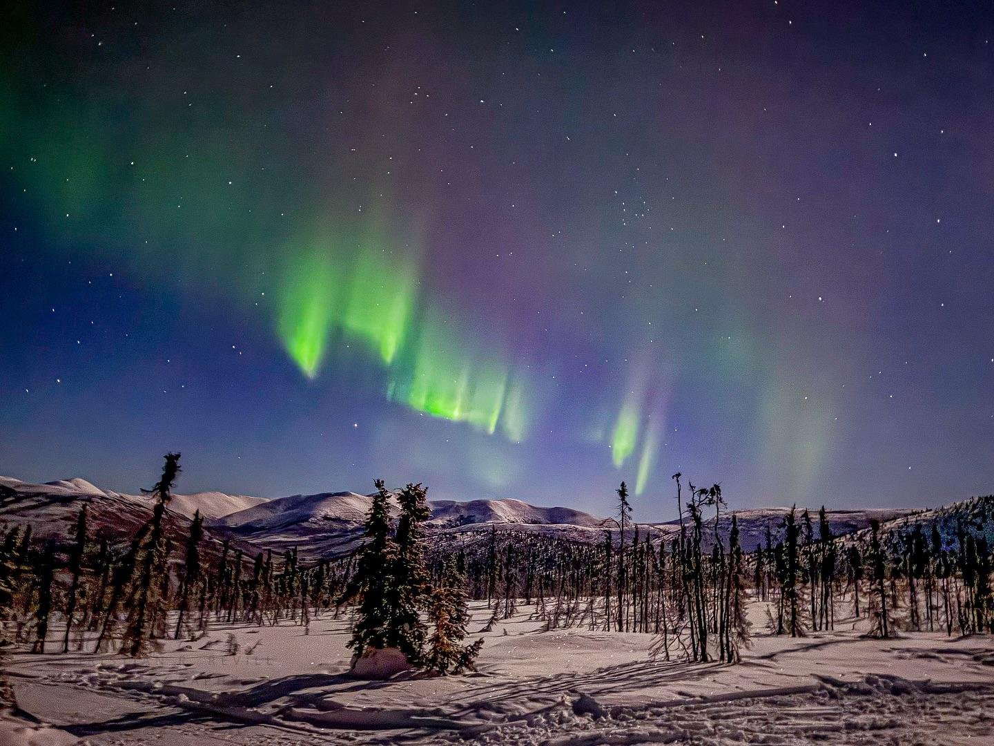
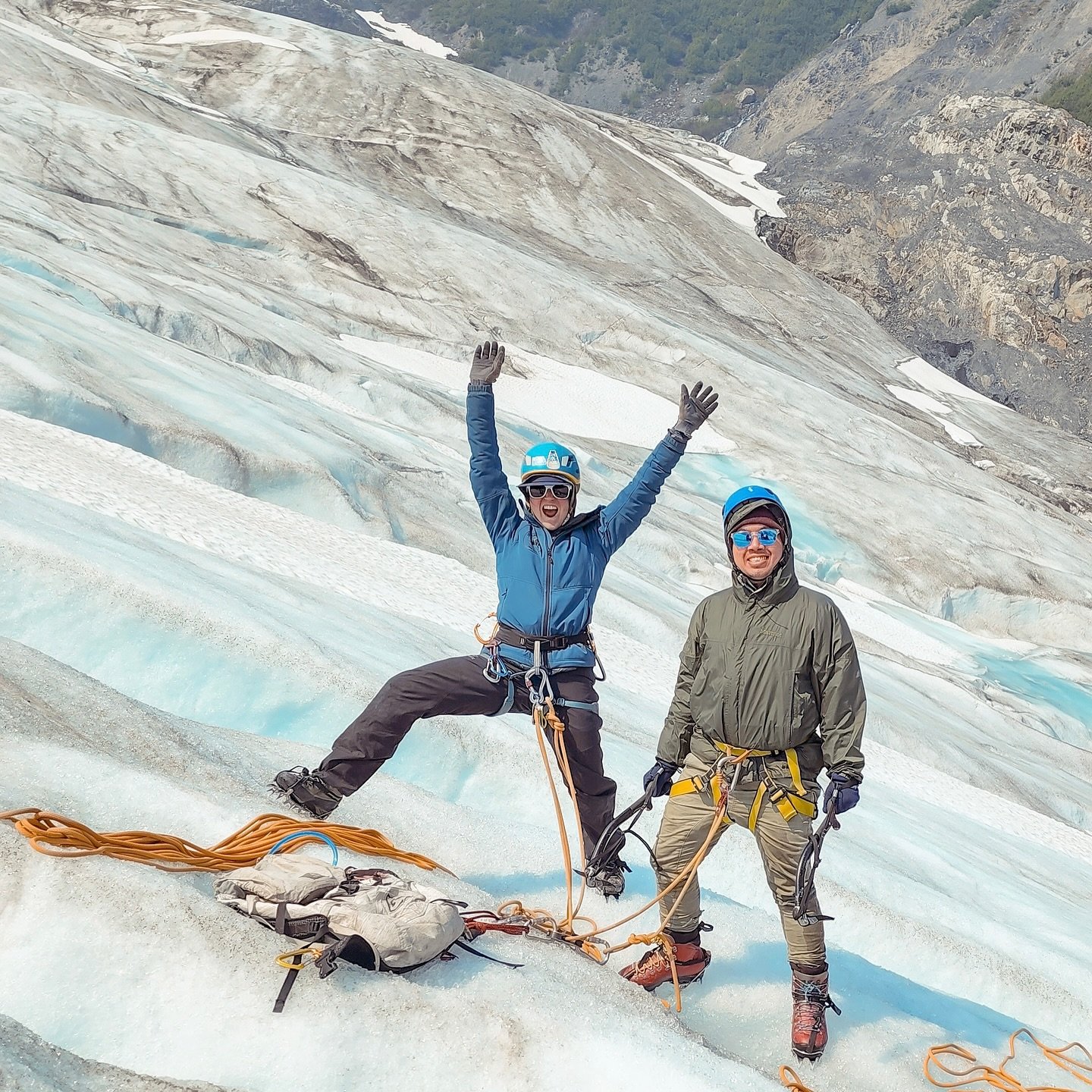
 @kahleonglow
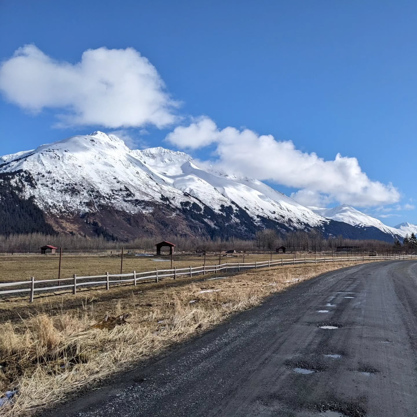
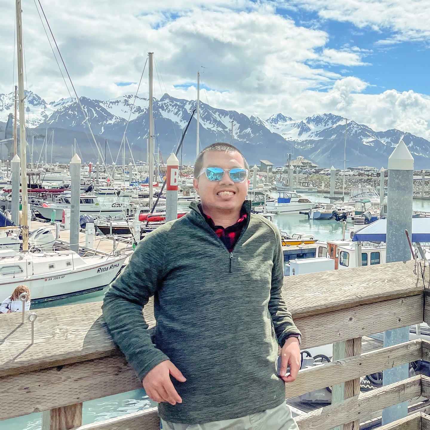
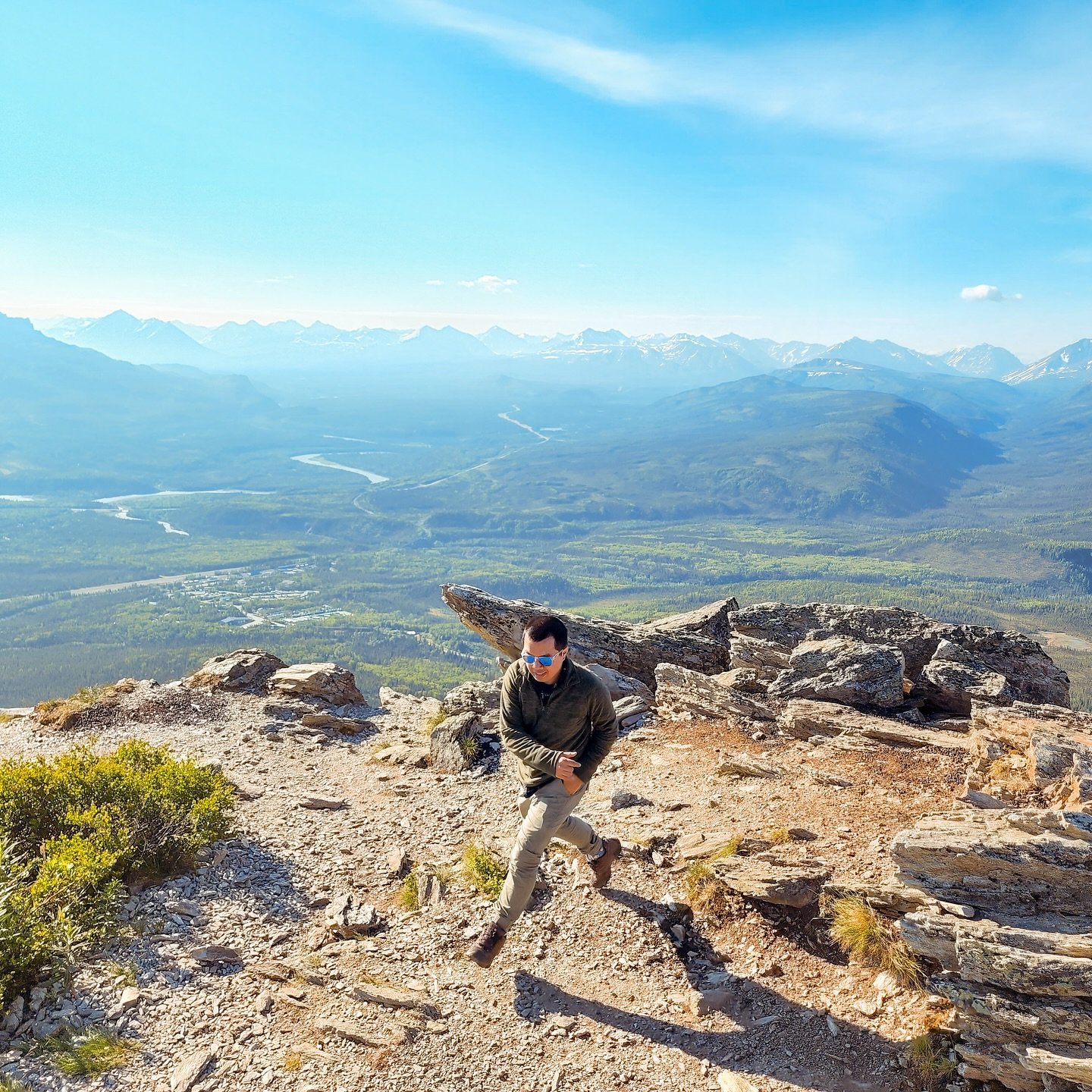
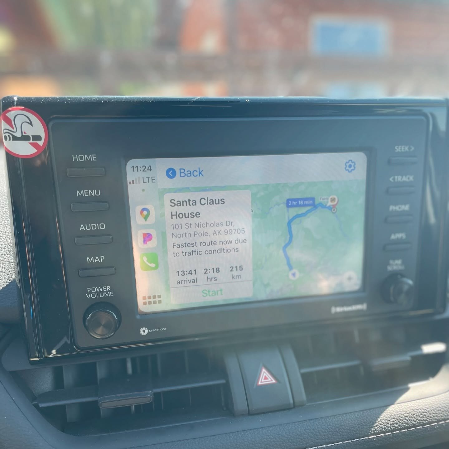
 @lam_lang_thang
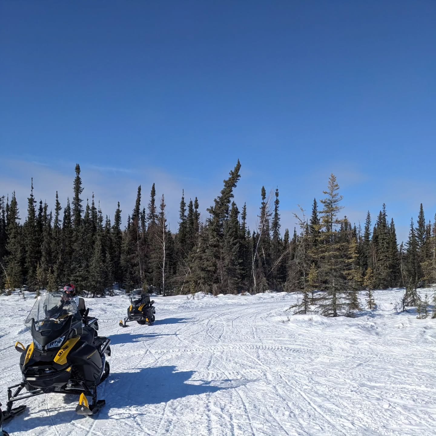
 @lam_lang_thang
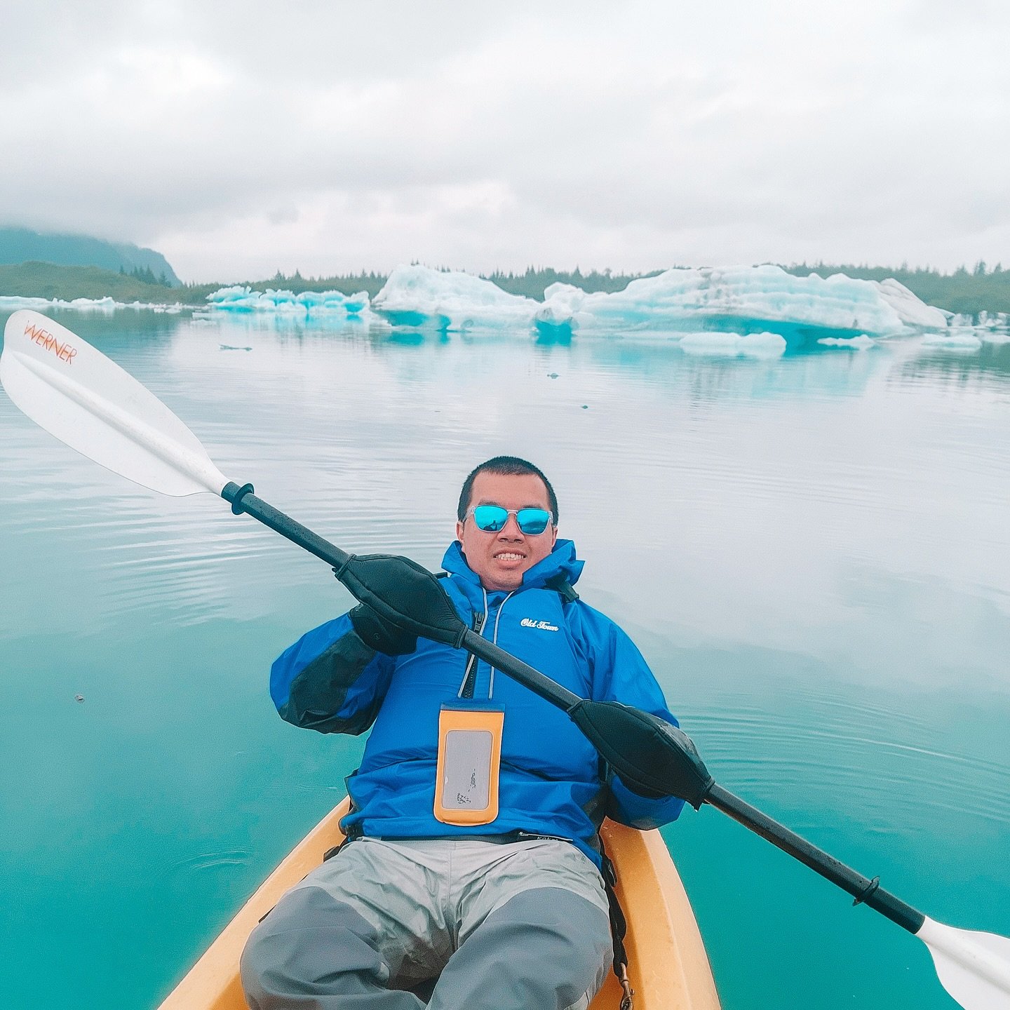
 @lam_lang_thang
 @lam_lang_thang